Baedeker Travel Guides: History, Legacy, And How To Use Them Today
What Are Baedeker Travel Guides?

Baedeker travel guides are compact, highly detailed handbooks first produced in Germany in the 1830s. They standardized what we now expect from a modern guide: clear routes, star‑rated sights, annotated maps, hotel and transport advice, and cultural context, everything you needed to avoid hiring a local guide. The hallmark format emphasized independence: precise city plans, practical sections on prices and tipping, and itineraries you could follow solo with a watch and a map.
If you've ever used a guidebook that ranks sights or color‑codes neighborhoods, you've seen the Baedeker DNA. Their folding maps and street indexes made them indispensable in an era before smartphones, and their no‑nonsense tone still reads surprisingly fresh. For travelers today, they double as cultural time capsules and field manuals for historic urban exploration.
A Brief History And Cultural Impact
Origins Of The Baedeker Brand
Karl Baedeker founded the firm in 1827 in Koblenz. The breakthrough came with a tightly edited Rhine guide in 1832, which set the template: practical, portable, obsessively accurate. By 1872, the company had moved to Leipzig, a publishing powerhouse.
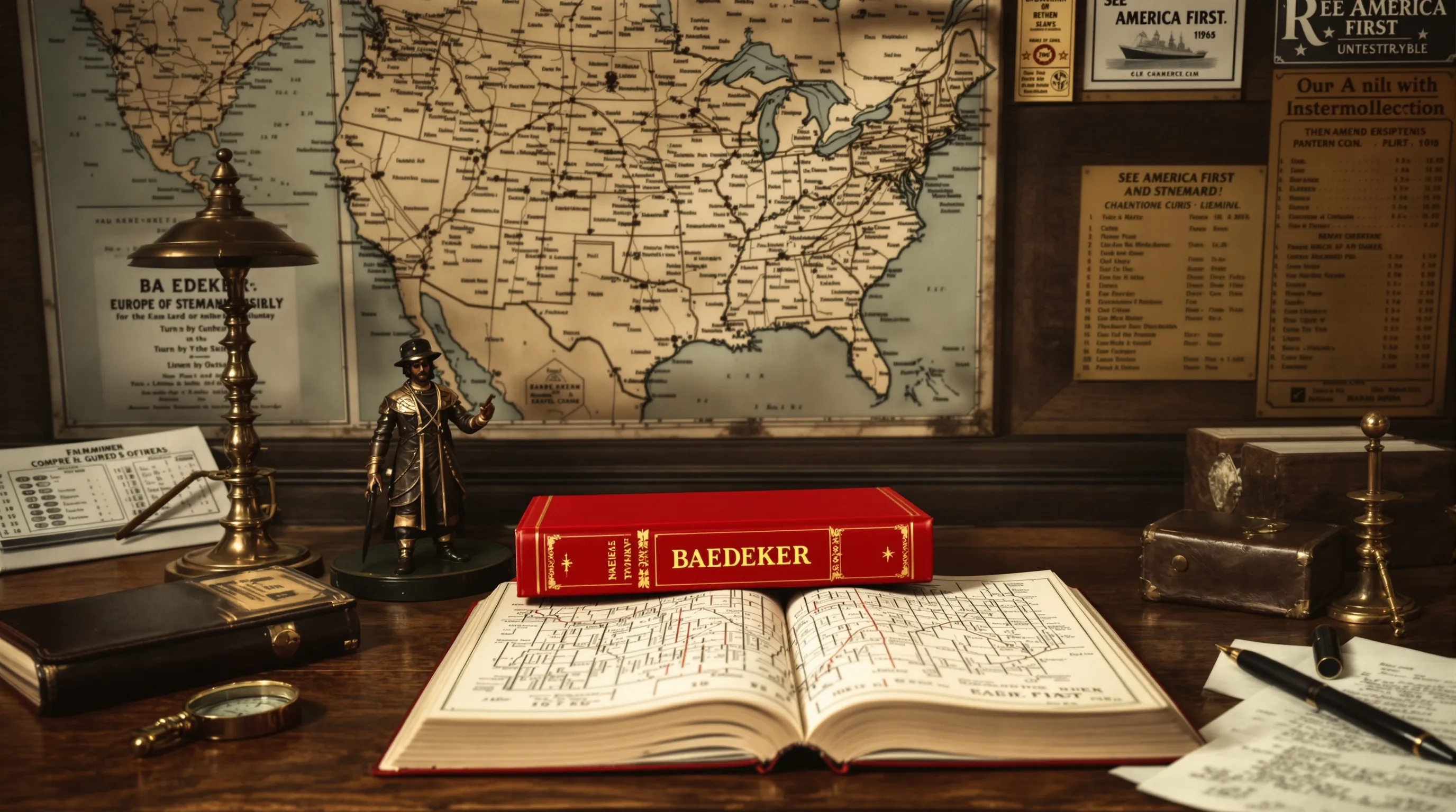
The Trademark Red Guides And Cartographic Innovations
The iconic bright red cloth covers arrived mid‑century, alongside an elegant star system to flag must‑see sights and reliable hotels. Their city plans and fold‑out maps were famously precise, good enough to follow turn‑by‑turn long before GPS. That cartographic quality is a big reason the guides remain useful today.
Influence On Modern Guidebooks And Independent Travel
English editions began in 1861, and "a Baedeker" became shorthand for any guidebook. The series shaped how Europeans and Americans traveled through Europe and far beyond, Egypt, Japan, and the United States included, especially up to the early 20th century. The core idea was radical at the time: equip travelers to be independent of guides and innkeepers. Modern series like DK Eyewitness and Fodor's inherit that mission with updates, photos, and design, but the bones of route‑based, frequently revised guides trace back to Baedeker.
Why Baedekers Still Matter For Budget-Conscious Travelers
Here's the surprising part: the old money talk in Baedekers, prices, classes of accommodation, "cheap but clean" lodgings, can help you reconstruct affordable paths through cities that are pricey today. Those once‑budget quarters are often near transit, markets, and classic viewpoints, and some still offer value if you know where to look. The guides also highlight free or low‑cost sights, scenic walks, and public spaces. Even when the hotels and cafés have changed, the spatial logic holds: the frugal traveler's city is mapped right there, in detail.
How To Use Baedekers Today: Reprints, Digital Archives, And Practical Research
Free Or Low-Cost Access Options
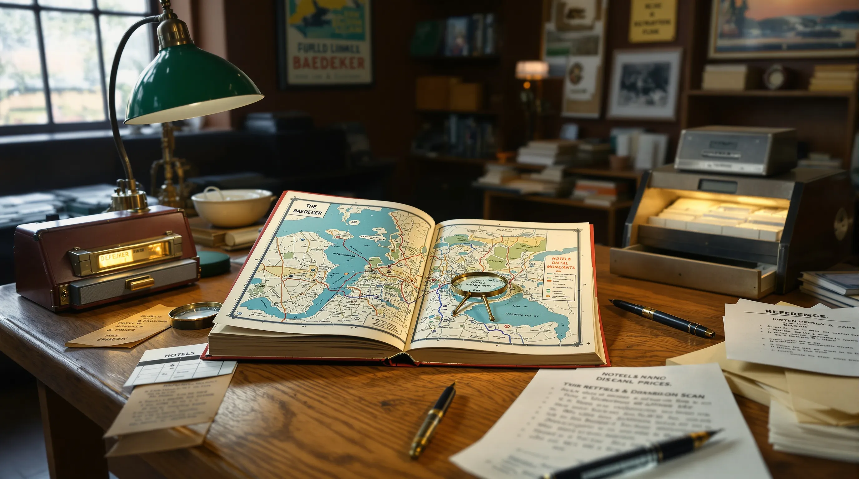
Start with libraries and digital archives. Many 19th‑ and early‑20th‑century Baedekers are in the public domain and available as free scans from national libraries and university repositories. Large digital libraries (and some research libraries with robust travel collections) often host full PDFs you can download to your phone.
When Historical Advice Is Still Useful, And When It Is Not
Still useful: walking routes, sight descriptions, neighborhood names, scenic viewpoints, and cultural context. Not reliable today: prices, hotels, health and safety guidance, visa rules, and timetables. Treat the guide as a historical lens and route planner, not a logistics bible.
Public-Domain Scans And Library Resources
If you're new to this, search for the city or country name with "Baedeker PDF" or browse national library digital portals. Many public libraries can request physical copies via interlibrary loan, and research libraries often provide in‑reading‑room access to original editions. The publisher continues releasing modern guides, but for historical research, the free scans are gold.
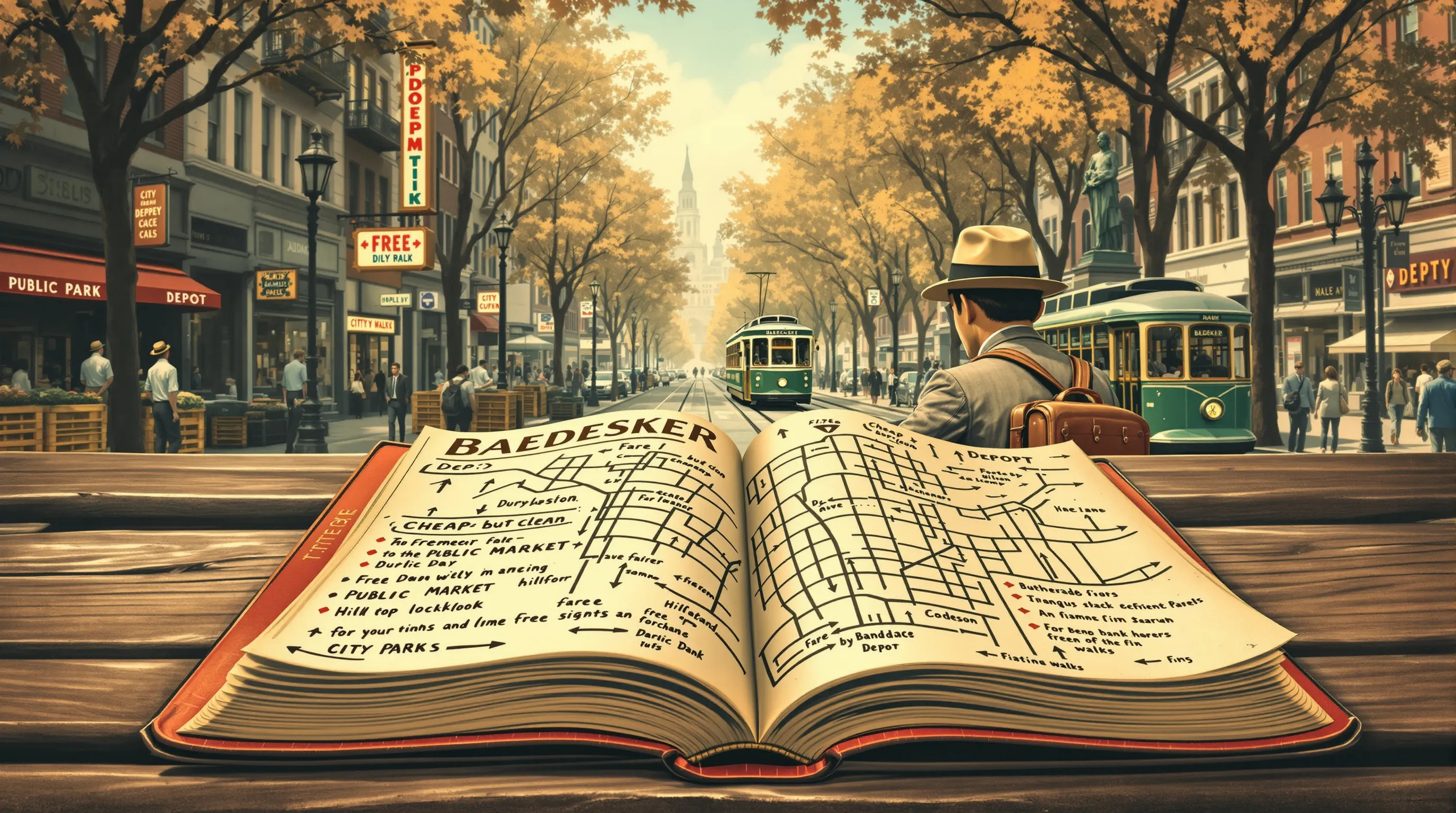
Using Historical Maps To Plan Cultural Walks
Print or download the fold‑out city plans and overlay them on a modern map app. Follow a starred route from, say, the 1905 Paris edition and note where the guide sends you for views and free monuments. You'll often rediscover back‑streets with character that mainstream crowds miss. Bring the old plan on your phone for quick cross‑checks when streets change names.
Choosing The Right Edition And Destination
Edition Eras: 19th Century, Early 20th Century, Interwar, Postwar
Pick an era that matches your interests. Pre‑1914 editions capture the Grand Tour mindset and imperial context in Europe. Interwar and WWII‑era volumes reveal political and urban transformation (there's even a 1943 guide to the General Government of Poland). Postwar editions modernized the series and show the shift to contemporary tourism norms.
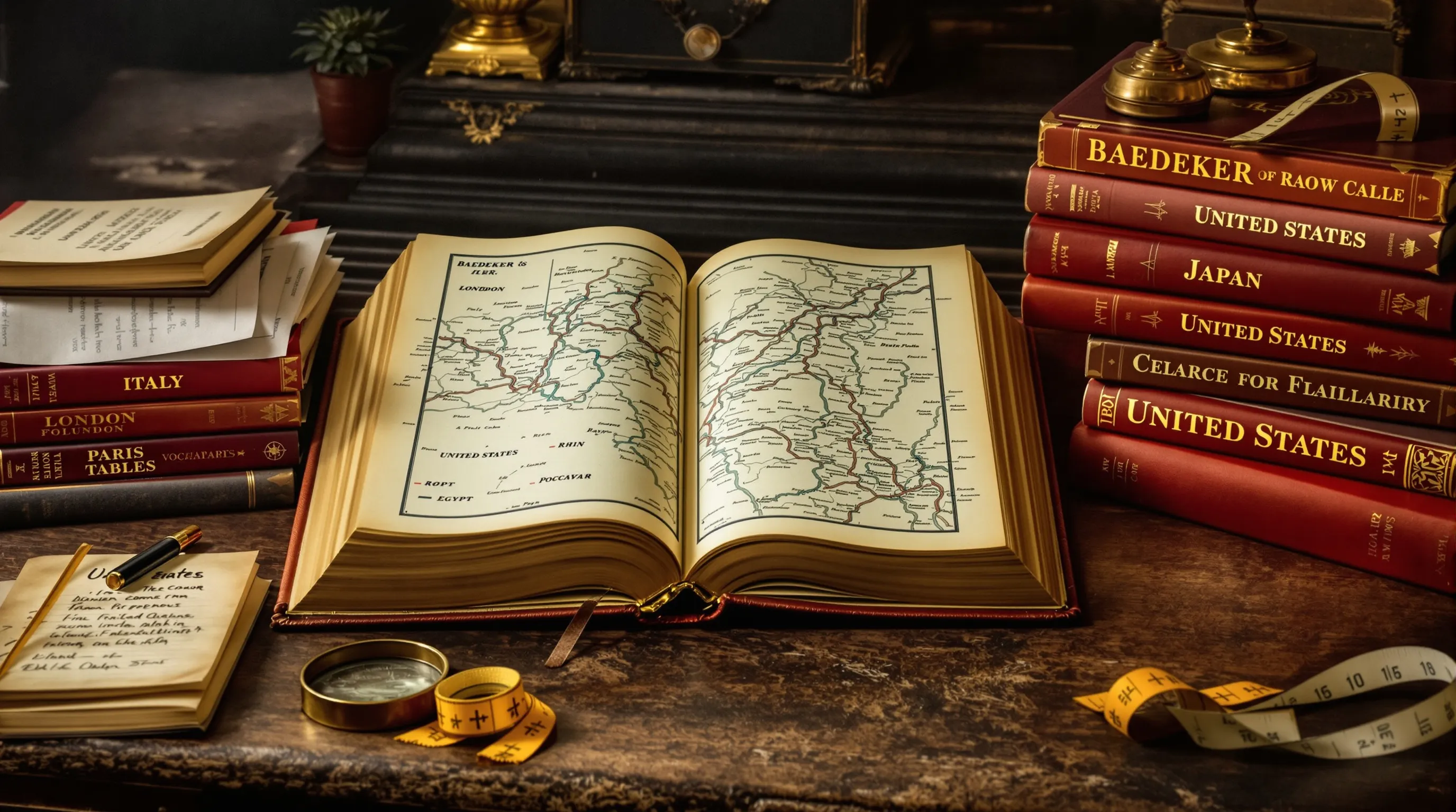
Popular Destinations: Italy, Paris, London, Rhine, Egypt, Japan
If you're starting out, the classics are classics for a reason. Italy and the Rhine volumes are richly mapped and route‑driven: Paris and London are meticulous: Egypt and Japan offer a window onto how early tourists encountered non‑European destinations. The United States guide is a fascinating snapshot of a rapidly modernizing country.
Condition, Maps, And Appendices: What To Look For
If you're buying, completeness matters. Check that all fold‑out maps and city plans are present, that the binding is sound, and that street indexes and appendices (rail tables, mini vocabularies) are intact. Missing maps diminish both value and usability. For working copies, minor wear is fine: prioritize legible plans over pristine cloth.
Pairing Baedekers With Modern Travel Resources
Filling Gaps: Safety, Reservations, And Up-To-Date Logistics
Use a Baedeker for structure, then fill everything else with current sources. For safety, opening hours, museum tickets, and transit passes, check official tourism sites and city transport apps. For budget stays and meals, lean on recent guidebooks (DK Eyewitness, Fodor's) and reputable booking platforms.
Cross-Referencing: Old Routes, New Prices, Current Transit
Take a star‑rated 19th‑century walking route and recreate it with today's tools. Replace historic hotels with hostels or budget hotels in the same districts. Swap steam‑era train schedules for modern timetables and transit cards. Track prices through your usual apps: keep the Baedeker as the narrative backbone.
Where To Find Affordable Baedekers And What To Pay
Online Marketplaces, Thrift Shops, And Library Sales
For selection and clear descriptions, online marketplaces and specialist dealers are your best bet. You'll see photos of maps and bindings and detailed condition notes. Thrift shops and library sales can yield bargains, but expect mixed condition and incomplete copies. If you only need to read, libraries and digital scans are the least‑cost route.
Price Ranges And Red Flags For Buyers
Common early‑20th‑century city or country guides in English or German often sell in the mid double‑digits (USD) when worn but complete: fine copies and scarcer titles climb quickly. Early editions, rare destinations, or copies with immaculate maps can command high collectible prices. Red flags: missing fold‑outs, detached spines, heavy annotation that obscures text, or absent appendices. If the price matches better copies, skip it and wait, another will surface.
Tip for budget travelers who just want to use the content: target reprints or slightly tatty but complete copies. Or skip purchasing and work from public‑domain scans plus a modern guide for current logistics.


Comments
Post a Comment